Start UP that bets on mining exploration with drones
With GFDAS, entrepreneurs become the first Chilean company to perform geophysics using drones, an activity that will undoubtedly facilitate mining processes.
One of the current challenges in mining, and specifically in Chile, is the difficulty in prospecting new mineral resources. Today the deposits are hidden under deep sequences of gravels, volcanic rocks or vegetation, and the geophysical tool plays a fundamental role. Limitations of access, cost and resolution make it difficult to obtain quality data.
Faced with this scenario, these entrepreneurs considered the purpose of obtaining geophysical information taking advantage of the drone platform, which today is only used in the registration of surface images.
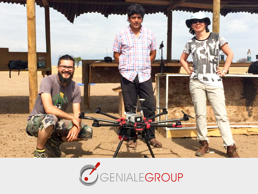
Thus, at this time, the main challenge has been to miniaturize the components of the sensors to reduce the weight, because currently the drones bear reduced payload, in addition to resolving the interferences and calibrations. And the progress has been such, that today, GeoMagDrone is the first drone in Chile that records information about what is happening in depth.
source
Geniale Group
Pioneers in Latin America
Drone surveys to acquire geomagnetic information from surface to great depth.
