Local company brings drones for mining exploration to Chile
Local company GFDas, founded by Lorena Banchero y Gonzalo Yáñez, developed system “GeoMagDroneTM”, a platform for recording geophysical subsoil data, whose information is collected by means of drones from a height of 30 meters.
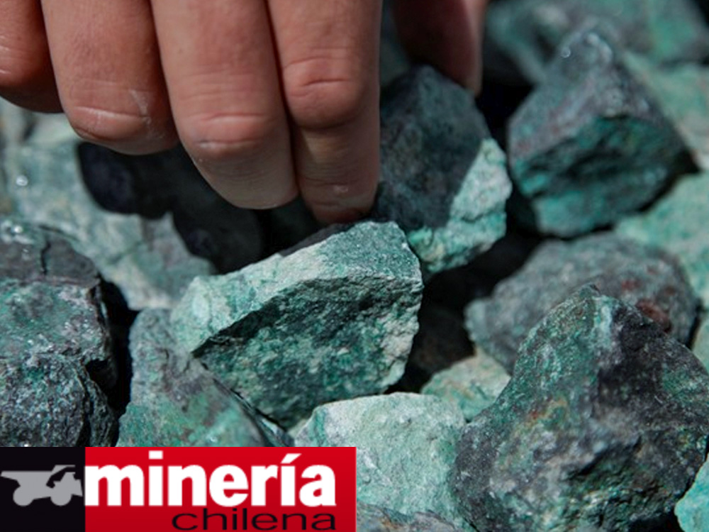
A worldwide mining trend is aerial geophysicsa discipline that, through the use of drones, allows the geology of a given area to be recognized, studying from the height the structure and composition of the land and the agents that modify it . It is used in countries such as Canada, Australia and South Africa, and is now also present in Chile.
The solution proposes a more reliable and economical way to prospect in depth and evaluate its potential exploitation.
source
Minería Chilena
Pioneers in Latin America
Drone surveys to acquire geomagnetic information from surface to great depth.
