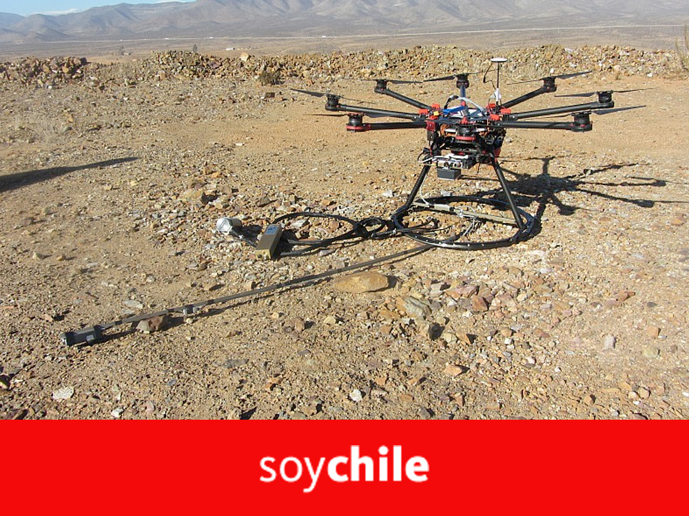
A drone has been created to identify potential areas of mineralization.

A team of Chilean entrepreneurs developed GeoMagDroneTMa device for mining exploration that records information in depth, revealing what is hidden beneath the surface of complex areas.
There are many applications and uses that different industries are giving to drones. In the entertainment world, for example, these objects have been very useful when filming videos or capturing images for movies and events. Another job is in agriculture, where these ships are used to monitor crops and get ahead of pests.
Or in environmental emergencies, when access to the site is limited and a drone needs to be sent to fly over the area and visualize what is happening. But what happens when we need to detect what happens beneath the earth? Can these devices help us?
source
Soy Chile
Pioneers in Latin America
Drone surveys to acquire geomagnetic information from surface to great depth.

